By Hayden Seder

Blaine County commissioners took advantage last week of a pause in the federal government process for planning how to use roughly 137,000 acres of public open space, by asking locals how they want those lands to be used. The overwhelming takeaway: more motorized trails are not so welcome here.
On June 18, county officials held two public meetings in Hailey to get public feedback on projects originally proposed in the now-suspended Bureau of Land Management’s (BLM) Travel Management Plan for the Wood River Valley. The meetings were intended to find an alternative to a federal plan for the area between Willow Creek in the west and the Little Wood River in the east, between U.S. Highway 20 in the south and the Sawtooth National Forest in the north.
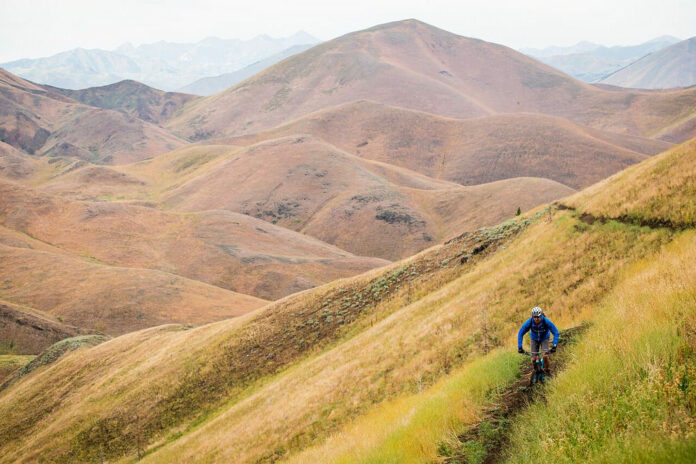
As the land is now, there’s currently an existing network of trails, particularly in certain areas like Quigley Canyon, but the county and BLM have recognized a need for additional trails. Johnson said the original intent of the travel plan was to add new trails but also possibly close some trails and roads that were in more sensitive areas.
“It’s really about having that balance,” Josh Johnson, an associate of the Central Idaho Conservation League, said. “Everyone here in the Valley loves to recreate but we don’t want that to triumph over every other concern.”
Currently, three plans are being proposed, each skewed slightly to benefit a different demographic. One option is the recreation-heavy plan, the most extreme in terms of roads and trails, which would entail building an additional 120 miles of them. Another alternative has the least amount of roads and trails. It would only add 15 miles of new trails. A final option blends the two, with a slight skew toward recreation in the form of an additional 78 miles of roads and trails.
Johnson said most comments focused on restricting further expansion of motorized use.
“When the county commissioners summed up at the end of the meeting, it’s fair to say that they recognize that the public doesn’t have a strong appetite for … the super-recreation-focused one, but more interested in finding some kind of middle ground,” Johnson said.
What’s The Hold-Up?
In April, the Department of the Interior directed local offices to stop development on travel management plans nationwide except those mandated by court order. One of the reasons for the Interior Department halting travel plans is that the Trump Administration is pushing for more access—specifically, motorized access—meaning that plans dictating certain trails not be open to motorized vehicles are not supported by the federal government.
“The BLM and the county feel this is unfortunate, but we don’t want to have the mandate completely stop us in our tracks,” Johnson said. “We want to figure out another way to accomplish some of the things in the original plan, just not all.”
According to Johnson, a travel management plan is something that both the Forest Service and BLM use on their respective lands to dictate the roads and trails and their uses. The local BLM office has been working on a travel management plan for the area on and off for 10 to 15 years now and has worked to involve the community in various ways, making the stoppage of this work after so much preparation a setback.
“Our view is that we can support recreation and support new trails in the right places but we should be thoughtful of how many we’re putting in and where,” Johnson said. “Part of that is recognition that we already have a lot of trails in this area and building new trails and roads can fragment important wildlife habitat. There’s already relatively few areas remaining that don’t have trails. We’d like to see those areas not get fragmented even further.”


